GSI3D 1.0

Free GSI3D utilizes a Digital Terrain Model, surface geological linework
4 
Rating
Your vote:
Latest version:
2011.0 See all
Developer:
NERC
Screenshots
1 / 3
Awards (1)
Show all awards
Software Informer Virus Free award
Download
Free   44.6 MB

GSI3D utilizes a Digital Terrain Model, surface geological linework and downhole borehole data to enable the geologist to construct cross sections by correlating boreholes and the outcrops to produce a geological fence diagram. Mathematical interpolation between the nodes along the drawn sections and the limits of the units produces a solid model comprising a stack of triangulated objects each corresponding to one of the geological units present.
Comments

4
Rating
1 vote
5 stars
0
4 stars
1
3 stars
0
2 stars
0
1 stars
0
User

Your vote:

Related software

ProSim Ternary Diagram
Free
rating

Enables you to create ternary diagrams in a few mouse clicks.

moDiagUltimate
moDiagUltimate
rating

moDiag lets you read and erase the diagnostic codes stored by diesel vehicles.

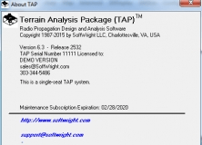
Terrain Analysis Package (TAP)
Terrain Analysis Package
rating

The app includes 27 different modules that enables you to make terrain studies.
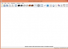
tridicon CityDiscoverer Light
Free
rating

CityDiscoverer Light is a viewer for visualizing digital 3D city models.

Surface Evolver
Surface Evolver
Free
rating

Interactive program for the modelling of liquid surfaces.